Humans and some animals can perceive depth and judge distance. Each eye is set a couple of inches apart from the other, each seeing an image that is similar but slightly different. …
Technology
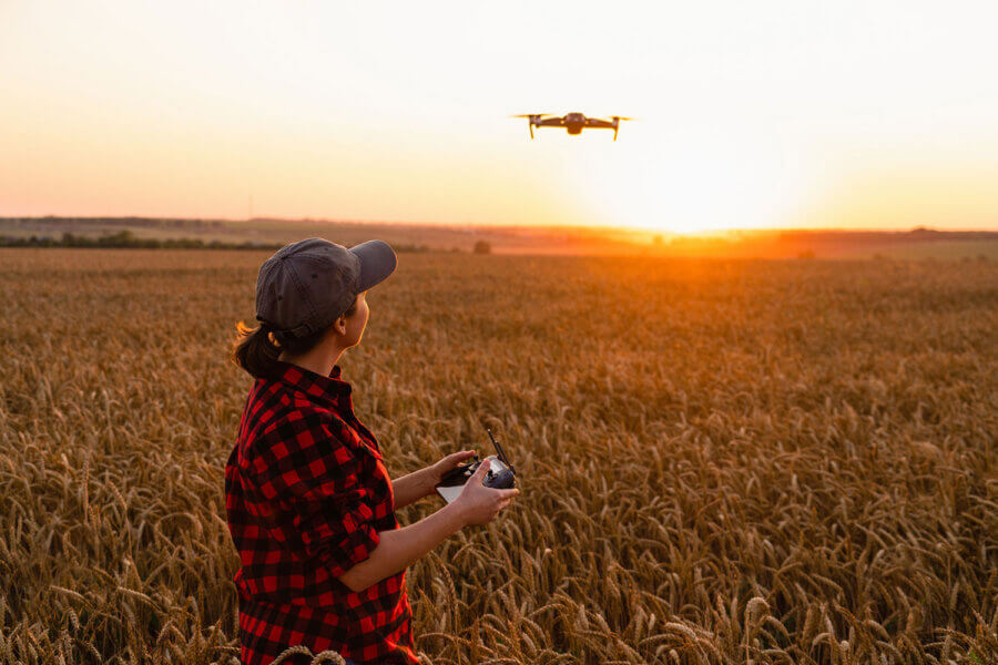
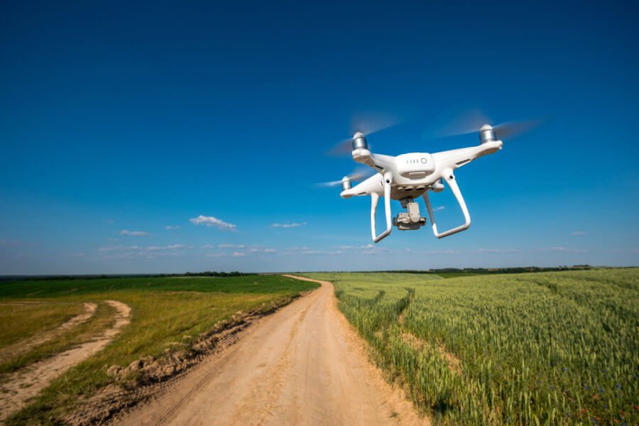
Drone Mapping Can Help with Sustainability
For industries that work closely with the land, using sustainable practices while accommodating the ground for human activity can sometimes be challenging. Sustainability can …
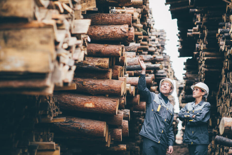
How Timber Companies Can Use Photogrammetry
For companies in the timber industry, photogrammetry offers many benefits that can streamline the surveying process and help companies monitor their stock. Summit Evolution is a …
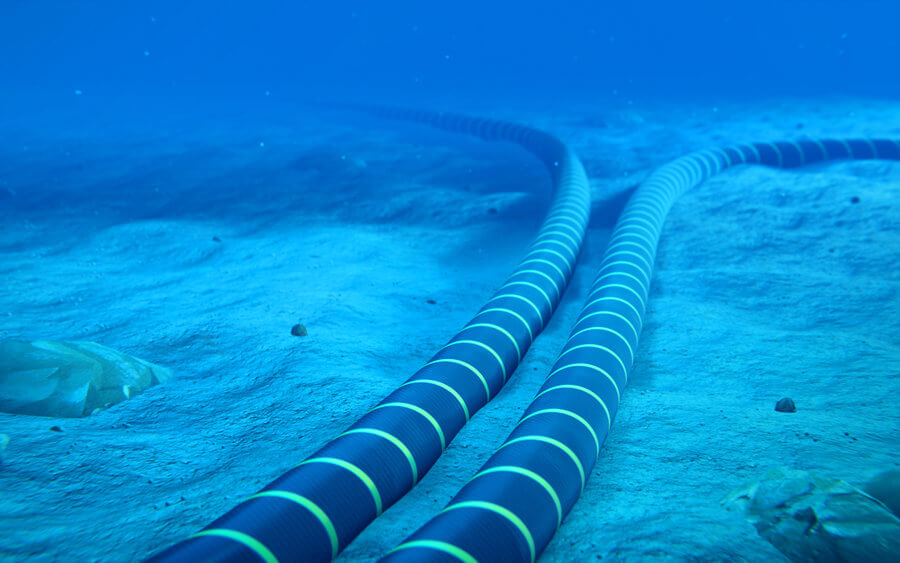
Difficulties Subsea Cable Companies Face
The subsea cable industry is a huge part of the world’s internet infrastructure system, and many companies, like Quintillion, are expanding the world’s current fiber optic network …

The New Quintillion Website
Quintillion recently launched a new website that beautifully captures the company’s goal of connecting the Arctic to the rest of the world through accessible broadband services. …

Summit Evolution: Specialized Models for Photogrammetry
The Summit Evolution is an innovative photogrammetric workstation that is available in several licensing levels and allows organizations to better discover and capture 3D …

Quintillion Leadership Vision for 2021
Quintillion, the first and only telecommunications operator to build a subsea and terrestrial fiber optic cable in the North American Arctic revealed its vision for the future. …
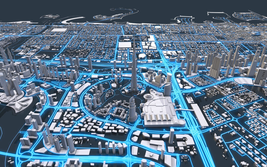
How Drones Are Transforming American DOTs
American Departments of Transportation across the country benefit from using drones to capture imagery from the sky. This data can work alongside the Summit Evolution …
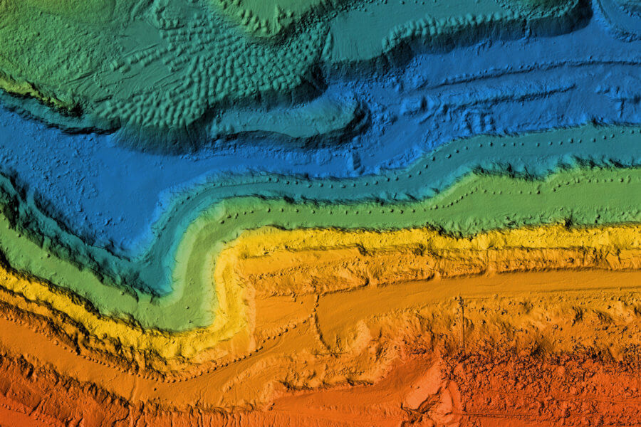
Key Features in Modern Photogrammetric Software
The process of photogrammetry, DAT/EM’s digital workstation software, and its features that are changing the landscape of extracting 3D photography—it’s a game-changer for drone …

What’s New About Summit Evolution Version 8 Photogrammetry Software?
Summit Evolution 8 is the most user-friendly photogrammetric workstation on the market. It’s designed to interact with CAD and GIS, making it as easy as possible to extract usable …